
Original price was: $14.95.$11.66Current price is: $11.66.
- There are quality problems, free return and exchange
- Quality products, fair prices.
- Discover a world of quality products.
- Quality and Affordability Combined

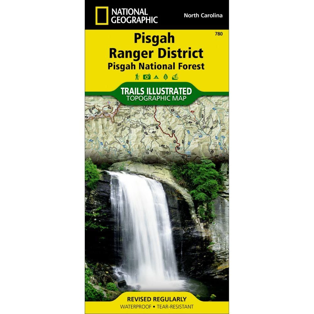
Home of the first school of forestry and containing two of the first designated wilderness areas in the eastern United States, Pisgah National Forest is a remarkable land of hardwood forests, mile-high peaks, whitewater rivers, and cascading waterfalls. National Geographic’s Trails Illustrated map of Pisgah Ranger District, Pisgah National Forest delivers unmatched detail and valuable information to assist you in your exploration of this breathtaking wilderness that spans over 500,000 acres. Expertly researched and created in partnership with local land management agencies, this map features key points of interest including Shining Rock and Middle Prong wilderness areas, North Carolina Arboretum, Cradle of Forestry in America National Historic Site, Blue Ridge Parkway, Cold Mountain, and more. The Forest Service and North Carolina scenic byways are noted for those wishing to take in the scenery by car. Hundreds of miles of trails, including the Mountains-to-Sea, Art Loeb, Palmetto,…
| Condition | New |
|---|
Be the first to review “Second Gear WNC National Geographic Map – Pisgah Ranger District Map #780”
Related products


Backpacks & Bags


Reviews
There are no reviews yet.