
Original price was: $14.95.$11.21Current price is: $11.21.
- There are quality problems, free return and exchange
- Quality products, fair prices.
- Discover a world of quality products.
- Quality and Affordability Combined

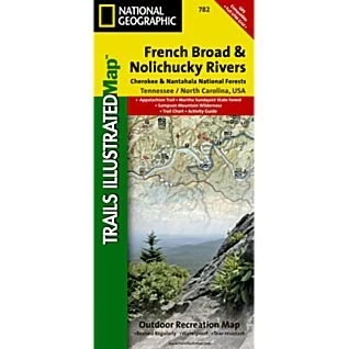
Outdoor enthusiasts seeking to explore the western parts of Cherokee and Pisgah National Forests will find National Geographic’s Trails Illustrated map of French Broad and Nolichucky Rivers a complete guide to the area. Expertly researched and created in partnership with the National Park Service and others, the map covers with unmatched detail the two forests from their western boundaries to the Tennessee/North Carolina border. Key points of interests featured on the map include Sampson Mountains Wilderness, Paint Creek Corridor and Bald Mountains. Displayed on the map are activity guides listing recreation features, to help you select the best location according to your area of interest. Additionally, trail guides, listing trails with their mileage, difficulty level and designated use, will help you select the best route for exploration. Trails on the map are color-coded according to the designated usage, whether you wish to explore foot, horseback, bike, or motorized vehicle. Th…
| Condition | New |
|---|
Be the first to review “Second Gear WNC National Geographic Map – French Broad & Nolichucky Rivers #782”
Related products


Backpacks & Bags
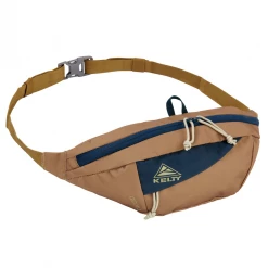
Second Gear WNC Kelty Giddy 3L Hip Pack, Dull Gold/Reflecting Pond

Backpacks & Bags
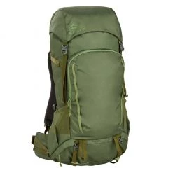
Second Gear WNC Hike Kelty Asher Backpack 55L, Winter Moss/Dill
Reviews
There are no reviews yet.