
Original price was: $11.99.$8.03Current price is: $8.03.
- There are quality problems, free return and exchange
- Quality products, fair prices.
- Discover a world of quality products.
- Quality and Affordability Combined

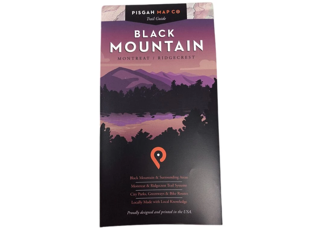
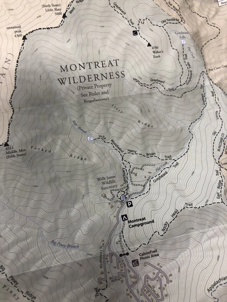
Right in our own backyard, we’ve spent our fair share of time trekking around Black Mountain – Western North Carolina’s favorite recreational community. And we’ve detailed every trail, peak and viewpoint along the way. This map will guide you from the parks and greenways in town to the remote wilds of the Montreat Wilderness and Ridgecrest trail systems, for some of the best day hiking around. We’ve even included the Rainbow Road and Old Mitchell Toll Road for the cyclists among us. Now, stop reading and come out to play. Technical Stuff Size: 23” x 35” | 4” x 7.5” folded Scale: 1:12,000 1 inch = 0.19 miles
| Condition | New |
|---|
Be the first to review “Second Gear WNC Books & Maps Pisgah Map Company Black Mountain Map”
Related products

Backpacks & Bags
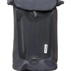
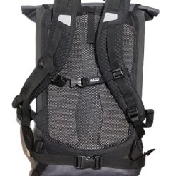
Second Gear WNC Hike Seal Line Urban Dry Daypack, Graphite, 26L
Backpacks & Bags
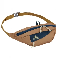
Backpacks & Bags
Second Gear WNC Kelty Giddy 3L Hip Pack, Dull Gold/Reflecting Pond

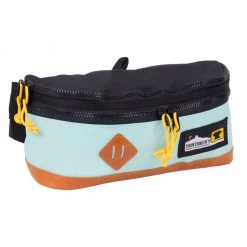
Backpacks & Bags
Second Gear WNC Hike Mountainsmith Trippin’ Fanny Pack, Mint
Reviews
There are no reviews yet.